
Trace a Kentwood Street by Address
An address-based search in Kentwood is a record trail, not an occupant list. Start by preserving the street number, direction, suffix, postal-city label, and date searched. The county property system can connect that string to a parcel. The city assessor or county Equalization supplies the tax-roll context. From there, the Register of Deeds index provides instrument leads, and historical sources can test a dated household association. Each stop answers a different question.
- Confirm the mailing form with the USPS ZIP Code Lookup, then run the street number and name in the county property search.
- Save the parcel number and displayed situs address. Ask the Kentwood Assessor for a specific parcel and tax-year record when the online view does not settle a property detail.
- Use the tax-roll name only as a starting lead, then search the Register of Deeds for the recorded transfer and legal description.
- For an individual’s own voter-registration check, use the Michigan Voter Information Center’s person-facing route. It is not a street-by-street roster.
- For an older household question, compare a dated street section or surname entry with the parcel and deed trail before drawing a conclusion.
Ownership, mailing, and residence are not interchangeable. A tax-roll name can differ from the recorded owner, and a deed names instrument parties rather than proving continuous occupancy. Treat the street search as a sequence of dated observations.
Kentwood Street Directory Search Fields
The Kent County Property Search is the clearest address portal documented for a Kentwood street search. Its address mode is useful when the parcel number is not known. The county advises trying variants because directions, punctuation, street descriptors, and numbered-street forms may be normalized differently in a historic source or a current system.
| Visible field | Type | Required | Use or format note |
|---|---|---|---|
| Street Number | Text | No | Use the current number first. |
| Range From / Range To | Text | No | Useful when a house number is uncertain. |
| Street Name | Text | No | Try forms with and without a direction or descriptor. |
| City/Township/Village | Select | No | Keep municipal geography separate from the postal city. |
| Active / Inactive Parcels | Status choice | No | Check both when an address is older or uncertain. |
| CAPTCHA | Verification | Yes | Required before submitting the public search. |
Parcel mode instead uses a parcel prefix and sections two through five, plus parcel status and CAPTCHA. The inspected material did not expose the exact result columns, an owner-only control, a ZIP filter, or a historical-year selector. For a city-held record, the Assessor lists eAssessor@kentwood.us and 616-554-0723 and says questions generally receive a response within seven days or less.
Note: County values are described as current as of March, with later changes processed after the April assessment.
Kentwood Streets in iMapView
Kent County Geographic Information System pages direct researchers to iMapView for an address search and parcel-map context. Use the map to orient the target parcel, neighboring parcel shapes, and the street relationship. Save a map date with the parcel number, then verify any legal description in the recorded instrument or assessor material. The county’s map disclaimer means the viewer is not a survey or a title opinion.
The captured GIS material shows an address-search prompt and map canvas, but it did not establish a live layer history, click-result schema, export control, date filter, or adjacent-parcel query. That limit matters when comparing a Kentwood street across time. A map position can guide the next record request; it cannot establish an uninspected field.
See the county’s GIS service shown in the official source before using the map context.
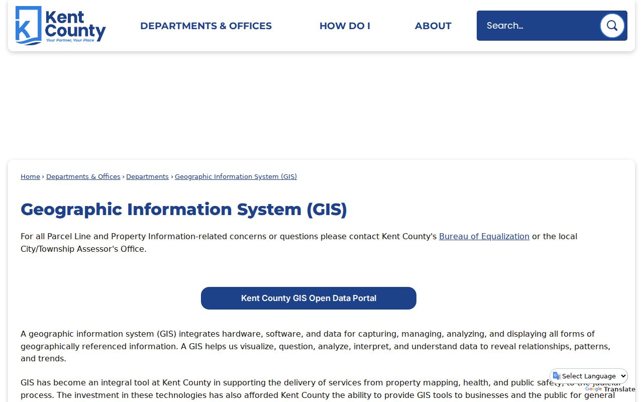
That county entry point is a practical way to reach the map, but the final address history still needs a parcel record and, where relevant, a deed image or office confirmation.
Address-Keyed Kentwood Street Records
An address query becomes more useful when every source is labeled by its function. The city, county, and state systems do not publish one unified resident record. The following routes show what is actually documented, including the limits that prevent a street range from becoming a current household roster.
| Address record layer | Custodian or route | What it can show | Access and limit |
|---|---|---|---|
| Postal address | USPS ZIP Lookup | Current ZIP and postal-city response | Address-specific service, not historic indexing. |
| Street structure | Kent County Street Directory | Address range, odd/even side, jurisdiction, school district, ZIP examples | Official directory, not an occupant roster. |
| Parcel and tax context | County Property Search and Kentwood Assessor | Parcel, situs, and tax-roll context | Portal and office request; taxpayer is not occupancy proof. |
| Parcel map | Kent County iMapView | Address and parcel-map context | Free viewer with a map disclaimer. |
| Recorded instruments | Kent County Register of Deeds | Deeds, mortgages, liens, parties, and legal descriptions | Free index from 1970; images and certification can cost more. |
| Historic address material | GRPL and Library of Michigan | Directories, maps, plats, and listing-card leads | Year and geographic coverage vary. |
The county document’s separate columns for political jurisdiction, ZIP, and school district are especially important. A mailing label can say Grand Rapids while the political-jurisdiction field says City of Kentwood. Preserve both instead of silently replacing one with the other.
Kentwood Streets, ZIPs, and Jurisdiction
The county document records Kentwood examples in 49508, 49512, 49546, and 49548. Those examples establish that the ZIPs occur in Kentwood street records. They do not draw municipal or neighborhood boundaries. For a particular house number, USPS is the practical authority for the postal assignment, while the county directory supplies political jurisdiction and school-district context.
The Property Search has street number, range, street name, and City/Township/Village controls, but no visible ZIP field. Michigan’s voter service uses ZIP only as part of a person match, not as a bulk ZIP search. These limits keep a careful Kentwood address search narrow and address-specific.
Note: Save the postal city, ZIP, political jurisdiction, and school-district values as separate facts when a boundary is close.
Kentwood Street Deed Chain
The Kent County online deed search is an instrument index, not a guarantee of present ownership. County guidance directs researchers to obtain a tax-roll owner name from Equalization or the local assessor, then search the deed index. Follow the recorded parties, document number, recording date, document type, and legal description. When a legal term matters, inspect the purchased image or request a certified copy.
Free online index coverage is stated from January 1, 1970. Starting June 22, 2026, the county described basic document-image downloads or prints at $1 per page, blurry previews before purchase, a $25 twenty-four-hour advanced subscription, and a $2,000 annual subscription, plus convenience or handling charges. The fee schedule also lists $1 per page for real-estate copies, a $5 minimum search fee, and $5 certification per document. Confirm current costs with the county before ordering.
A pre-1970 gap does not show that an earlier instrument never existed. Ask the Register of Deeds whether an older index, microfilm, or in-person research route is available. The inspected online material did not reveal those mechanics.
Kentwood Street Maps Are Not Surveys
A parcel map can make a street history look more certain than it is. County mapping can provide planimetric, aerial, and composite aerial-plus-parcel maps, and public review or copy orders are accepted in person, by email, phone, or fax. Those maps can explain a parcel shape, road relationship, split, join, or neighboring parcel number. They do not settle a boundary, easement, or legal right.
For an irregular Kentwood parcel, pair the map with the legal description in the deed chain and the local assessor’s tax-year record. A current parcel number may have predecessor or successor numbers. Keep those identifiers in separate fields rather than forcing every earlier source into today’s parcel shape.
Kentwood Street Address Translation
Historic records can use a former municipality, street spelling, or house number. Grand Rapids Public Library’s House History guide warns that many Grand Rapids addresses changed in 1912. The R.L. Polk street-and-avenue guide documents the major renumbering and gives Canal Street becoming Monroe Avenue as an example. It is a checkpoint, not an automatic conversion rule for every Kentwood address.
Record the original number and street name exactly as printed, then add a modern form only when a source establishes the connection. The research sequence is current parcel, historic legal description or prior owner, address normalization, directories, and then census, vital, cemetery, plat, or newspaper corroboration. A surname on the same street alone is not enough to connect two houses.
Kentwood Address Permit Requests
Inspections handles building, electrical, mechanical, and plumbing inspections, but no public searchable permit or code-case index was located in the inspected material. For a specific Kentwood address, request the permit number, inspection date, project description, or address through Inspections rather than assuming a historical database is available. A focused request gives staff a record target.
For city-held material not posted online, the Clerk is the city’s FOIA coordinator, while the department that created the record is usually the best first contact. County FOIA is a fallback for county-held records. Kent County accepts online, mail, fax, and hand-delivered requests and asks that a request identify the name, date range, department, address, parcel number, and record type as precisely as possible.
The Kentwood Inspections source identifies the department route for this address layer.
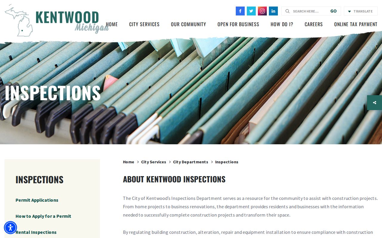
Use the department page to frame a narrow request, then retain the date, address, and requested record type with any response.
Kentwood Street Directory Terms
Several terms recur in a street-by-street Kentwood search. Defining them prevents an address record from being read as more than it is.
- Parcel
- A tax and mapping unit connected to a property record. It can change after a split or merge.
- Situs address
- The physical property address. It differs from a taxpayer mailing address and does not by itself identify a current resident.
- Plat
- A recorded map that can show subdivision, lot, or township context. It is not an occupant record.
- Criss-cross directory
- An address-oriented directory arrangement. GRPL’s 1912 street-and-avenue guide is the clearest local reverse-style lead; a separate current database was not located.
Use the wording attached to the actual source. A deed identifies transfer parties, a directory gives a publication-time association, and a listing card describes a realtor-listed property. Those are different forms of evidence.
Kentwood Street Directory Historical Leads
For a past address, Grand Rapids Public Library’s House History guide brings together real-estate listing cards, city directories, Sanborn maps, plats, assessor records, and digital collections. Listing cards generally cover properties listed by realtors from the 1950s through the 1990s, so owner-sold property and land contracts can be missing. Some older buildings have razed-building files.
R.L. Polk city directories offer historical address and household clues, while suburban volumes and the Kent County series can help where a present Kentwood address was outside an earlier city directory’s geography. A directory entry is a dated snapshot. When an older address is involved, the historical collections are described in more detail on the Kentwood city directories page.
Sanborn sheets for Grand Rapids are available for 1888, 1912, and 1930 through 1950, but they usually represent Grand Rapids proper. Confirm the sheet actually covers the address before treating it as Kentwood evidence.
Kentwood Street Search Limits
A street record cannot safely be turned into a current-person profile. The county source gives ranges and jurisdiction, not a household roster. The property portal’s taxpayer field is not proof of occupancy. A directory, listing card, census household, and deed each carry a distinct date and purpose. The Michigan Voter Information Center is a person-facing registration tool with required match fields, not a public browse-by-street directory.
Michigan voter records have public and withheld categories. Kent County’s voter-file request form uses defined geography and election controls rather than a street-address query. The Address Confidentiality Program can supply a substitute address to eligible survivors. Do not attempt to reverse a protected address through older deeds, maps, voter files, or social sources. Use only the minimum needed fact and ask the responsible custodian how a protected record should be handled.
Lawful use. Kentwood street records are for personal, lawful research. Repeatedly using address information to monitor, contact, or intimidate someone can cross Michigan’s stalking and harassment laws.