
Kentwood Past Residents by Era
A backward address trail should start with the era that is actually covered. The online deed index is strongest for recorded-instrument leads from 1970 forward. Earlier directories, maps, and plats can be useful, but Kentwood’s present boundaries postdate many regional sources. A Grand Rapids label in an old volume may describe a different historical geography, so retain the source’s own place name.
| Source | Years it covers | Where held | What it can show |
|---|---|---|---|
| Kent County plat maps | 1855–1921 | GRPL and Kent genealogy leads | Township, subdivision, lot, and historic geography context. |
| Williams Grand Rapids Directory | 1859/1860 | GRPL archive collection | Early regional names, addresses, and civic context. |
| R.L. Polk city directories | 1865–present | GRPL House History route | Dated address, household, and occupation clues. |
| Street and Avenue Guide | 1912 | GRPL microfilm and archive description | Renumbering and street-name translation lead. |
| Suburban directories | 1957–1997 | GRPL guide | Broader suburban address and name research. |
| Kent County deed index | 1970–present | Kent County Register of Deeds | Instrument chain, parties, and legal-description leads. |
| Kent County directory series | Since 1999 | GRPL House History route | Modern countywide address and name context. |
Use the current parcel first, then select the source that overlaps the date in question. A directory line can establish that a name was associated with an address when that edition was published. It cannot establish uninterrupted residence between editions.
Kentwood Parcel Record Starting Point
Begin with the Kent County Property Search or the Kentwood Assessor. Preserve the displayed situs address, parcel number, tax year, and tax-roll name. A situs address is the physical property address. A taxpayer mailing address is where tax communication is sent. Neither field alone proves who lived at the property.
County Property Search exposes street number, range, street name, City/Township/Village, active or inactive parcel status, and CAPTCHA in address mode. When an older Kentwood address does not return a result, try directional and non-directional forms, omit punctuation and descriptors, test numbered and word forms, and use range mode. The portal did not expose a visible historical-year selector or ZIP filter.
The Assessor handles parcel descriptions, building characteristics, taxpayer name and mailing address, permanent parcel numbers, transfers, values, exemptions, address assignment, and parcel splits. A request for a city record should identify the parcel number, tax year, and exact material needed. This keeps the current parcel view separate from the historic chain.
Kentwood Deed Chain for Past Residents
The county directs researchers to use the tax-roll owner from Equalization or the local assessor as a starting point, then search the Register of Deeds index. The tax-roll name may not be the actual owner. A deed trail therefore follows recorded instruments, not just a current assessment field. Capture the parcel number, legal description, parties, document number, recording date, document type, and any prior or later instruments.
- Record the current parcel number, situs address, and tax-roll lead without calling it occupancy proof.
- Search the current name in the Register of Deeds index and identify the purchase or other relevant instrument.
- Read the legal description and document details, then use the prior party as a lead for an earlier instrument.
- Repeat backward, branching the file when a split, merge, or changed legal description appears.
- For a chain before the online coverage, ask the county office about older index, microfilm, or in-person options. Those mechanics were not located in the inspected online material.
- Grantor
- The party transferring an interest through the recorded instrument.
- Grantee
- The party receiving an interest through that instrument.
- Chain of title
- A sequence of recorded instruments used to trace interests in a parcel over time.
- Legal description
- The parcel description used in the instrument. It is often more durable than a street address in old records.
The Kent County online deed search states that its free index reaches back to January 1, 1970. Starting June 22, 2026, basic image downloads or prints were described at $1 per page, with a $25 twenty-four-hour advanced subscription and a $2,000 annual option. Verify current fees before ordering.
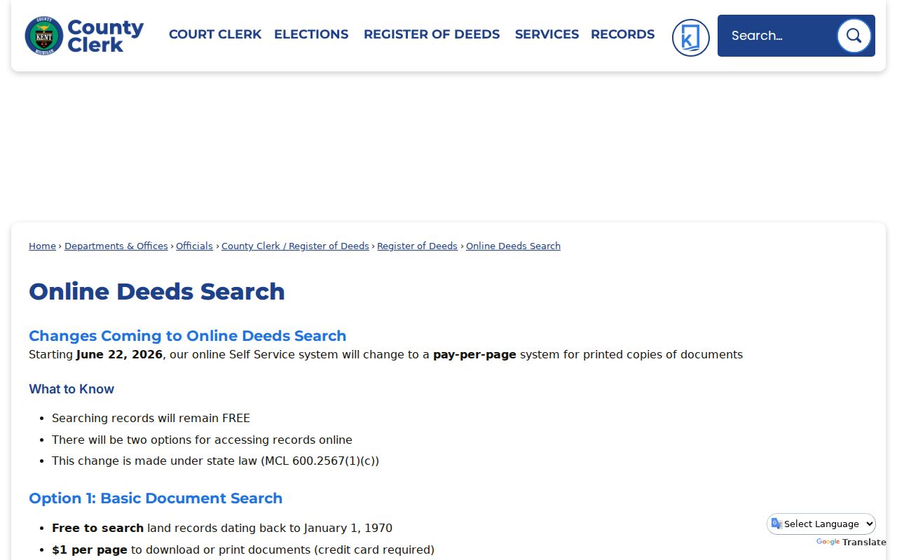
The fee and coverage notice is useful for planning an order, but a paid image or certified copy remains distinct from the index line that led to it.
Kentwood Address Records and 1912
Historic address work needs a translation checkpoint. Grand Rapids Public Library explains that many Grand Rapids addresses changed in 1912. The R.L. Polk Street and Avenue Guide describes the major renumbering and gives Canal Street becoming Monroe Avenue as an example. It does not authorize an unsourced conversion for every address now called Kentwood.
Keep the original number, street name, current form, municipality label, and the source that establishes any conversion. If the source records only a changed street name, leave the number relationship unresolved. This is a practical safeguard against attaching a prior household to the wrong parcel.
Grand Rapids Public Library’s House History guide identifies the local materials used for this translation work.
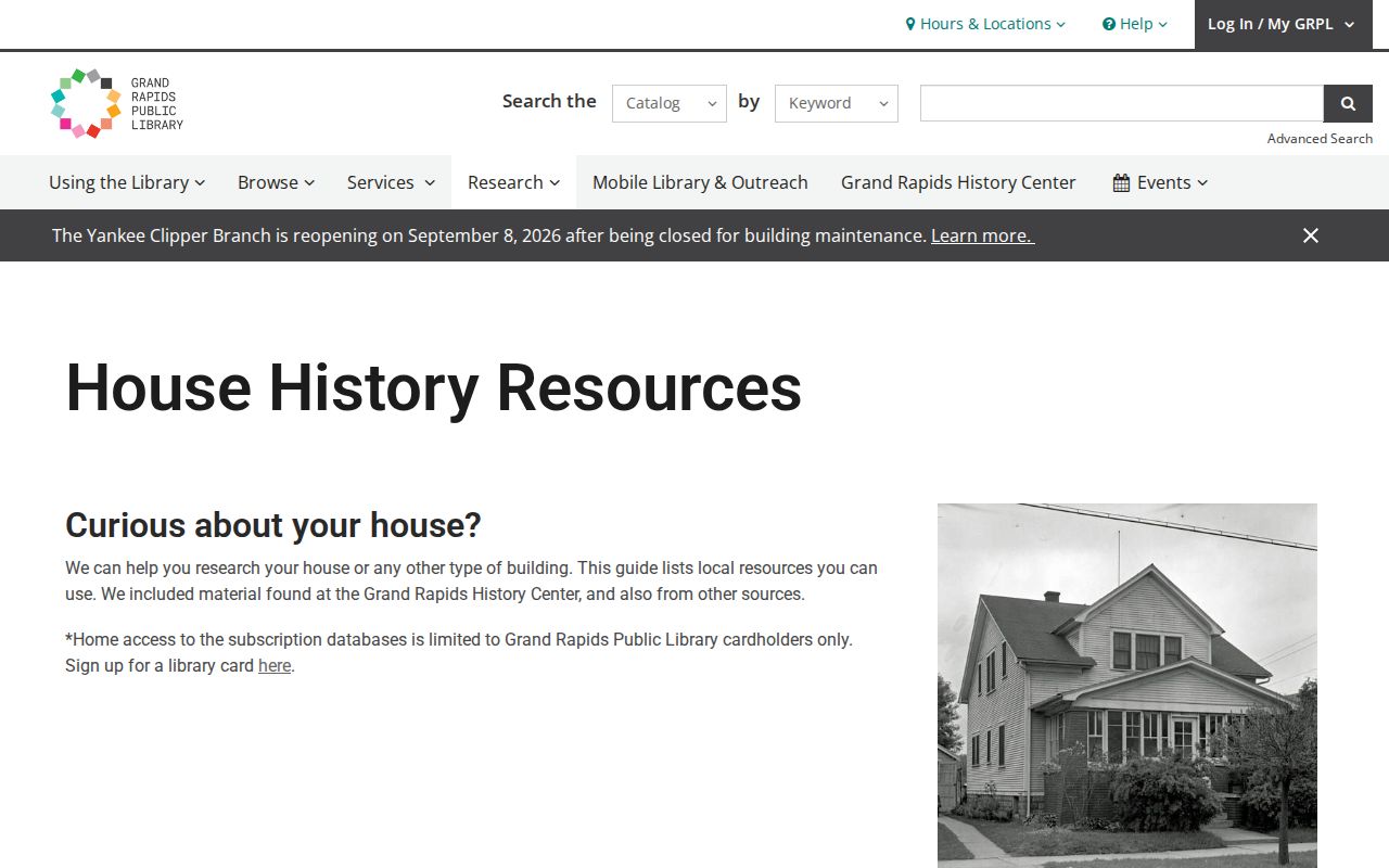
The guide ties together directories, maps, listing cards, assessor records, and digital collections while warning that old address forms need careful checking.
Kentwood Historical Directory Records
Directories are the household layer of the address trail. The GRPL collection contains city, business, and telephone directories that can include names, addresses, occupations, and membership information. The documented collection begins with the Williams Grand Rapids Directory for 1859/1860. R.L. Polk city directories run from 1865 forward in the House History guide, and selected digitized volumes are linked through HathiTrust or Google Books. The History Center holds physical volumes, and fragile items have copying limits.
For a target year, choose the city, suburban, or county series that fits the period and geography. The suburban run is stated as 1957–1997, and the countywide directory series begins in 1999. Search a surname and street section where available, read nearby entries for numbering gaps, and keep the publisher, year, page or image number, and abbreviation key. The collections themselves are described in the Kentwood city directories.
A street section is a useful reverse-style lead. A separate current criss-cross database was not located in official sources, so do not describe one as available.
Kentwood Past Households and Census
A deed chain identifies instrument parties. It does not say who was present at the address day to day. Pair a directory year with the appropriate census, vital, cemetery, obituary, or newspaper lead only after confirming the address form and geographic coverage. A census household is a dated snapshot; it should not be used to fill every year between two other sources.
- Choose a directory edition near the suspected move or transfer date and record the address exactly as printed.
- Check the year’s street form against the 1912 renumbering or another documented address conversion.
- Find the census schedule or family-history source that fits the same time and locality, then compare only the fields that support the question.
- Use a death or marriage certificate, obituary index, cemetery transcription, or newspaper item as corroboration, not as a substitute for the address trail.
- Mark the result as possible, supported, or unresolved when the address and time do not independently match.
Kent County’s genealogy route accepts mail requests with full names, an event date or approximate date, and a five-year search window. Its stated search time is three to four weeks. Birth access has restrictions, while death and marriage certificates have broader stated availability. Use the eligibility process for a certificate rather than treating a public index lead as the certificate itself.
Kentwood Address Records: Maps and Cards
Maps and listing cards can explain a property’s setting without establishing a household. GRPL describes real-estate listing cards from roughly the 1950s through the 1990s as photos and descriptive information for properties listed by realtors. They do not cover every owner-sold or land-contract transaction, and an older building can have a razed-building file. An assessor record may show a build date, effective age, structure, or photo, but those fields can describe different events.
County plats can help with lot, subdivision, and township context. Library of Congress Sanborn sheets for Grand Rapids are available for 1888, 1912, and 1930 through 1950, but they generally represent Grand Rapids proper. Use a sheet only when it clearly includes the address. The absence of a building on an inapplicable sheet is not proof that it did not exist.
Note: Keep listing-card, assessor, plat, and map dates separate from the date of a recorded transfer.
Kentwood Address Records When They End
A missing result is a bounded gap, not proof that nobody lived at an address. If the property search fails, retry directional forms, descriptors, ranges, and inactive parcels. If a directory has no name, test surname variants, street sections, nearby years, former numbers, and the historic municipality label. If the deed index has no instrument, test spelling variations and record whether the target date falls before online coverage.
For a parcel split or merge, preserve predecessor and successor parcel numbers in separate fields. For an irregular parcel, the county’s Property Description and Mapping division maintains tax maps and accepts public review and copy orders in person, by email, phone, or fax. Ask the Register of Deeds about pre-1970 research and ask GRPL or the Library of Michigan about the relevant physical or digitized historical source. Do not invent a linear chain where the record itself branches.
Kentwood Records: An Index Is Not Proof
The Register of Deeds describes its index as a guide to the underlying record, much like a library card catalogue, and advises searchers to try spelling variations. Capture the index lead, then mark whether the supporting image was purchased, inspected, or certified. An index can point to a document; it does not replace the legal language, page count, or image condition of that document.
| Record detail | Why it belongs in the address file |
|---|---|
| Parcel number and legal description | Connects the current address to the recorded property language. |
| Grantor, grantee, and document number | Identifies the instrument parties and the next chain lead. |
| Recording date and document type | Places the instrument in time without claiming occupancy. |
| Image page count and certification status | Shows whether the underlying record was reviewed or only indexed. |
Read the Kent County deed-system disclaimer before relying on a search result.
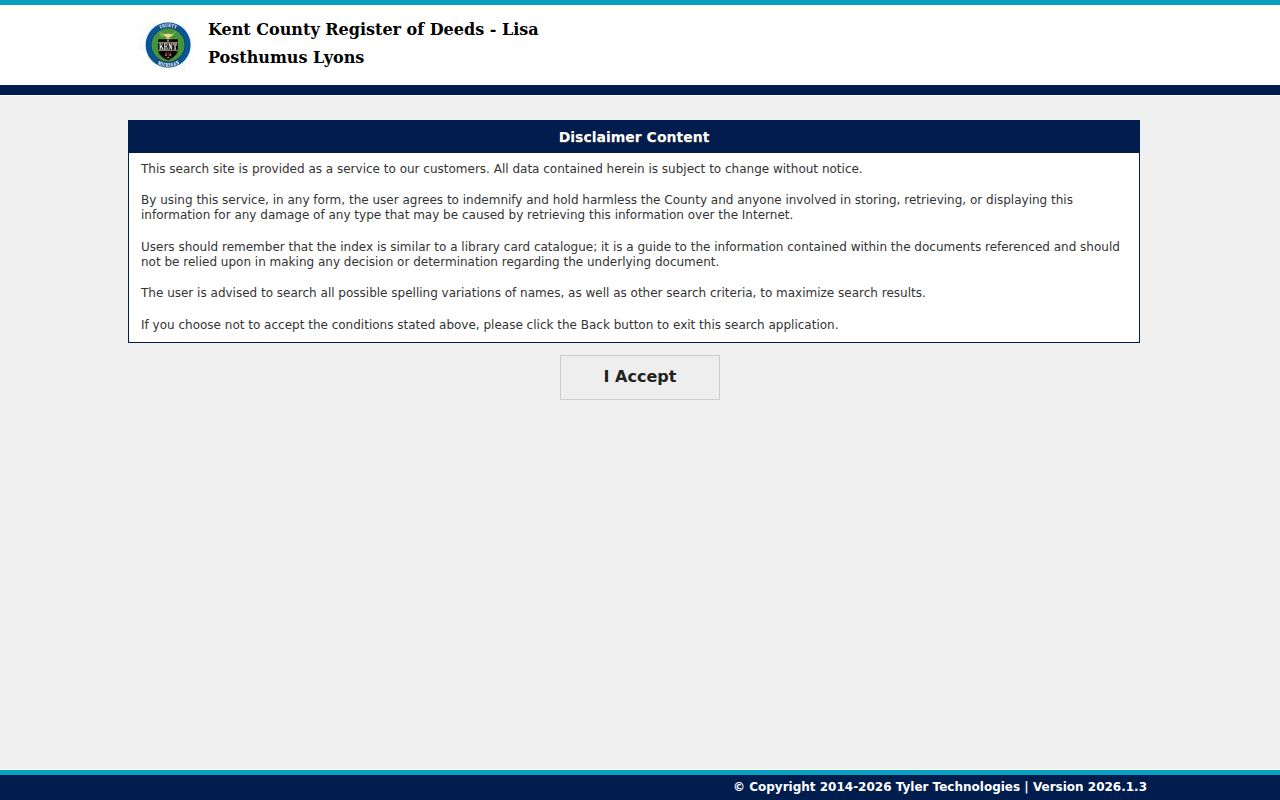
That disclaimer reinforces the need to keep a preliminary index result separate from a reviewed deed image or certified copy.
Kentwood Historic Address Privacy
House-history work does not require a current-person dossier. Use a dated parcel, directory, deed, map, or obituary fact only when it answers the historical question. Avoid current phone numbers, email, household routines, and other sensitive identifiers. Michigan’s Address Confidentiality Program provides a substitute address for eligible survivors. If a record shows a protected address, do not try to reverse it through older sources.
Separate what each record states from what it merely suggests. A directory can support a publication-time address association. A deed supports an instrument and its parties. A tax card supports an assessment view. The strongest conclusion is often a narrowly dated statement, not a claim of continuous residence.
Lawful use. Kentwood previous-resident research suits house history, family history, and personal curiosity. Do not use historical address material to monitor, contact, or harass any living person.