
Kentwood Neighbors Block Source Coverage
The useful public record for a block may be a parcel outline, a street range, a legal description, a planning rule, or a public association boundary. Kent County and Kentwood sources divide those tasks among different offices. A map is orientation evidence, not a survey. A tax or deed index may identify a record role, but it should not be turned into a list of present neighbors.
| Source | What It Shows About a Block | Access |
|---|---|---|
| Kent County iMapView | Address search, parcel-map context, road relationships, and adjacent parcel positions | Free public viewer with a no-warranty disclaimer |
| Kent County Street Directory | Address range, odd or even side, street, political jurisdiction, school district, and ZIP examples | Official PDF, not an occupant roster |
| County Property Search and Kentwood Assessor | Parcel number, situs and property context, assessment or transfer records where available | Portal or targeted office request |
| Kent County Register of Deeds | Recorded instrument, legal-description, lien, and date context | Public index, with image or certification charges where applicable |
| Public associations and archives | Boundary, governance, historic-map, or dated community context | Association-specific and never a citywide roster |
Parcel geometry and address structure are enough for many block questions. If a gap remains, record the address, date range, and exact public record sought before contacting the appropriate office. The research found no official citywide association registry and no confirmed public permit or code-case index, so those gaps should remain visible.
Kentwood Neighbors Through Map Context
The Kent County iMapView provides a visible “Search for an Address” route and parcel-map context. Use it to locate the target parcel, nearby parcel shapes, the road relationship, and the map date. The inspected research did not expose an adjacent-parcel button, a click-result schema, layer history, export controls, or a map-date filter. Those capabilities should not be claimed without a live verification.
Record a parcel identifier, legal description when publicly available, map date, and the address range. Do not copy names, phones, email, family details, or routines from any map-related source. The GIS disclaimer says the data are supplied without a warranty of accuracy, completeness, or usefulness, so legal or ownership conclusions belong with the assessor and recorded instruments, not the map alone.
The county GIS program directs parcel questions to Equalization or the local assessor. Its Property Description and Mapping division maintains property tax maps and offers planimetric, aerial, and composite map routes for public review or copy orders. Those channels help when an online view cannot explain an irregular parcel, road relationship, or description. A map copy still supplies context only. The recorded instrument remains the source for a legal description or title question.
Kentwood Block Parcels Step by Step
Use an address-first flow when a question concerns the immediate Kentwood block. The goal is to understand public land and address records without creating a current-neighbor list. Save original spellings and directional forms separately from a normalized working address, because a street source, deed, directory, and USPS result can use different labels.
- Run the street number and name in the county Property Search, trying directional and descriptor variants if the first query fails. Record active or inactive status, parcel number, and displayed situs address.
- Open iMapView for parcel and road context. Keep the map date and adjacent parcel identifiers, not personal household data.
- Check the street directory for the address range, odd or even side, political jurisdiction, school district, and ZIP context. Keep those fields separate.
- When an instrument question remains, use the assessor-to-deed-chain route for that parcel and retain the legal description, document date, and source scope.
The process is deliberately narrow. The Kentwood by-street directory is the appropriate route for a full named-street record chain, while a block inquiry should stop once parcel and civic context answer the question.
Kentwood Neighbors and Street Ranges
The county Street Directory helps read the two sides of a block without naming any household. Its columns are Address, Range, Odd/Even, Street, Political Jurisdiction, and School District. Compare those fields with iMapView to identify a numbering gap or a road relationship. A range line says how addresses are organized. It does not show who occupies an address.
Postal and municipal labels must be reconciled rather than silently substituted. The county directory has Kentwood examples in ZIP codes 49508, 49512, 49546, and 49548, but its political-jurisdiction field is separate from ZIP and school district. USPS should settle the postal ZIP for the exact street address. A Grand Rapids postal label can coexist with a City of Kentwood political-jurisdiction record.
For historical work, check a source’s original number and street name before connecting it to a modern block. Grand Rapids experienced a 1912 renumbering, and present Kentwood boundaries do not automatically match older regional maps or directories. A source that cannot document a conversion should be kept as an unresolved address string.
The Grand Rapids Public Library House History material can help test an older block label with directories, real-estate listing cards, plats, and Sanborn maps. A listing card covers properties listed by a realtor in the stated period, not every property history. Regional Sanborn sheets need the same caution: use a sheet only when its coverage clearly reaches the place being researched. A historic map’s absence of a building is a lead to investigate, not proof that no structure existed.
Kentwood Neighborhood Boundary Context
Public association pages can add civic context, but they do not establish which people currently live on a block. Princeton Estates describes a voluntary association within Kentwood, with boundaries at 52nd Street to the north, Kalamazoo Avenue to the west, 60th Street to the south, and Discovery or Brookhill Farm Drive to the east. Its private member channel is not a public roster and should not be used to infer participation.
Crystal Springs identifies development subareas, and Kentwood Home Guardians publishes governance material. The research also found a 2017 Home Guardians Community Connections directory, which is a dated historical artifact rather than a current list. Keep member details and private channels out of block research. There is no official citywide registry tying every Kentwood address to an association.
| Public context lead | Safe use | Boundary |
|---|---|---|
| Princeton Estates HOA | Voluntary association and stated boundary context | Do not use its private member channel or infer nonmembers |
| Crystal Springs Property Owners Association | Named development and subarea context | No current public member directory was located |
| Kentwood Home Guardians | Public rules, minutes, and historical governance context | Its 2017 directory is historical, not a current roster |
Kentwood Election Context by Geography
Election material can explain a precinct, a jurisdiction, or a date-specific civic record without identifying voters. Kent County Elections links voter resources, election results, tests, audits, and the voter-file request form. The county form distinguishes county, city or township, district, ward or precinct, all current registered voters, and voters for a specific election. Those choices are not interchangeable, and public voter fields remain subject to the state’s withholding rules.
See the Kent County Elections page for current civic resources.
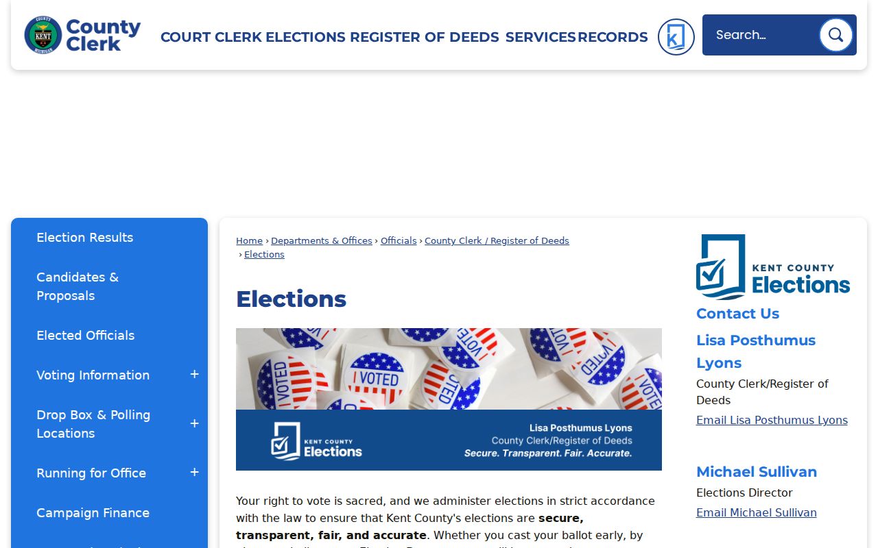
The county election page provides date-bound public context, not a neighbor roster.
See the Kent County election publication portal.
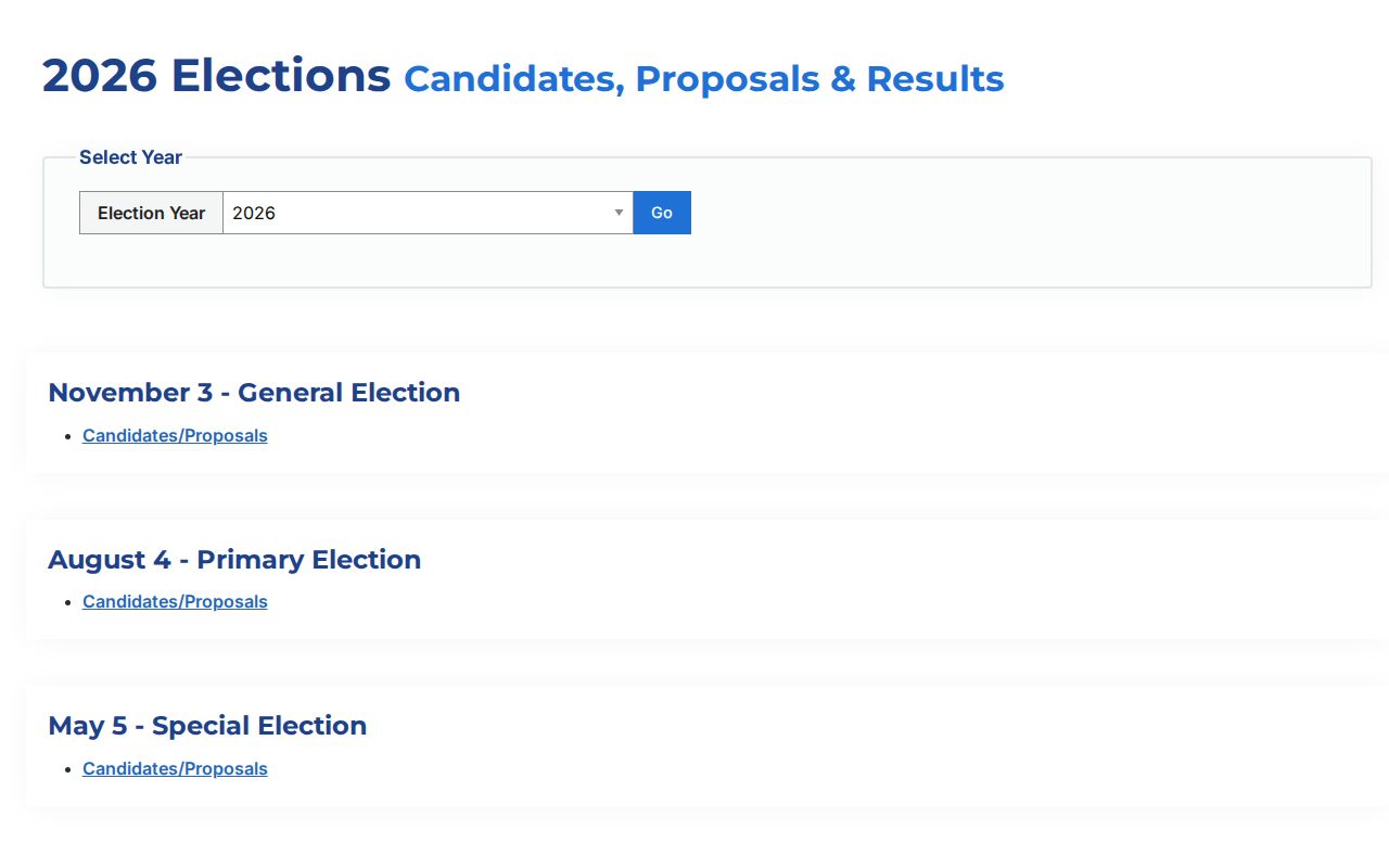
Published election materials should be preserved with their election date and geography rather than treated as current population data.
Kentwood Neighbor Tools Compared
Official sources and commercial neighbor tools serve different purposes. A public office explains its custodian, scope, update cycle, and request route. A commercial category may combine material of unclear date or provenance. Neither category turns a map, a parcel record, or a public association page into a verified statement about who currently occupies a home.
| Tool category | Useful for | Limit |
|---|---|---|
| Official parcel, street, deed, and planning sources | Checking the exact record type, date, geography, and custodian | Coverage is segmented, and some records require an office request or paid image |
| Commercial neighbor tools | A lead that must be independently verified with the appropriate custodian | Source date, identity matching, completeness, and privacy handling can vary |
When an official record is absent online, ask narrowly. Kent County FOIA accepts online, mail, fax, or hand-delivered requests and describes a five-business-day response with a possible ten-business-day extension. Name the address, date range, department, and record type. Request a redacted public portion when that is all the question requires.
Kentwood Planning and Zoning can provide land-use rules, development proposals, and Form-Based Code context for the Division corridor. A zoning designation describes the regulatory setting, not a completed project, permit, occupancy, or current resident. The inspected city material did not expose a public searchable permit or code-case index. A specific address, project description, or inspection date is the right scope for a city department or FOIA request.
Kentwood Neighbor Lookup Privacy Limits
Public availability is not permission to collect or republish personal details. An adjacent parcel may supply a legal-description or map relationship, while a historical directory may document a dated address association. Neither warrants publishing a current occupant’s phone, email, children, schedule, or private group membership. A map layer, ZIP, and tax-roll field each have their own narrow meaning.
Michigan’s Address Confidentiality Program gives eligible survivors a substitute address and mail-forwarding service. If a substitute address or protected context appears, do not try to reverse it through old deeds, voter records, maps, or social sources. Ask the relevant custodian how to handle the record. Use the minimum public information needed, and retain whether a fact is historical, current, or only indexed.